
«Данное сообщение (материал) создано и (или) распространено иностранным средством массовой информации, выполняющим функции иностранного агента, и (или) российским юридическим лицом, выполняющим функции иностранного агента»
 Topic: Naval Warfare Blog Brand: The Buzz Region: Asia Tags: China, Guam, Indo-Pacific, Straits of Malacca, and Undersea Warfare Why China Is Mapping the World’s Oceans March 31, 2026 By: Peter Suciu
Share
Chinese research vessels have spent years studying the world’s seafloor for ostensibly civilian purposes—but have specifically done so in locations with high military significance.
In October 2021, the United States Navy’s Seawolf-class fast-attack submarine USS Connecticut (SSN-22) collided with an uncharted seamount in the South China Sea near China’s Hainan Island. The collision sidelined the submarine for months and resulted in repairs that could cost upwards of $50 million.
More than 15 years earlier, the Los Angeles-class USS San Francisco (SSN-711) also struck another uncharted undersea mountain near Guam, resulting in the death of a sailor and injuries to nearly 100 others. The damage from the collision was so severe that the boat was almost lost.
Navies from around the world have long understood the dangers that lurk beneath the waves, including such uncharted mounts. Nearly 95 percent of the world’s oceans remain unexplored and unmapped in resolution.
As the National Oceanic and Atmospheric Administration’s (NOAA’s) Ocean Exploration department explained, the issue is due to extreme, deep-sea conditions, which include high pressure and complete darkness. Exploration of the deep sea is estimated to be 100 times more costly and risky than that of outer space—limiting direct human observation to less than 0.001 percent of the seafloor.
Even as around 27.3 percent of the seafloor has been mapped with high-resolution, modern technology, there are still uncharted seamounts—as evidenced by the two incidents with the US Navy’s nuclear-powered submarines.
China’s Navy Wants to Master Undersea Geography
“China is conducting a vast undersea mapping and monitoring operation across the Pacific, Indian and Arctic oceans, building detailed knowledge of marine conditions,” Reuters reported earlier this month. In the event of a US-China war, such information could “be crucial for waging submarine warfare against the United States and its allies.”
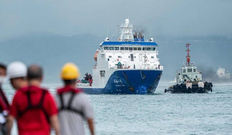
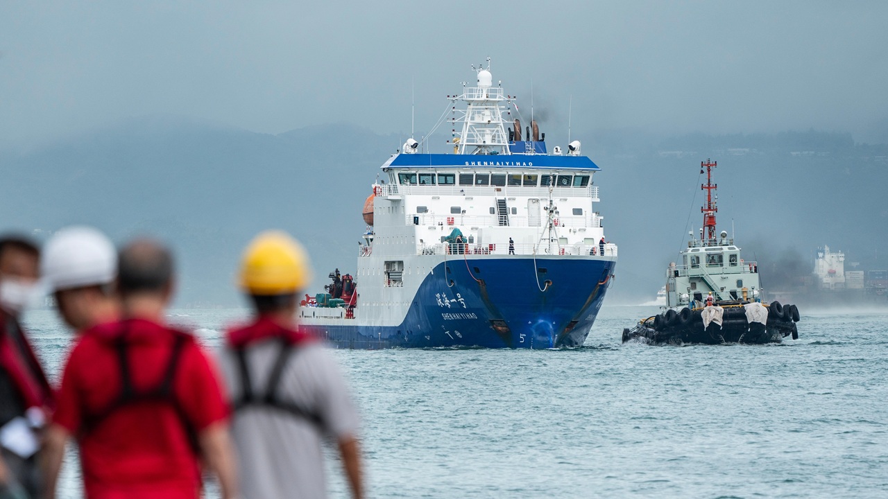
Beijing has been able to map the ocean floor with its advanced research vessels, including the Dong Fang Hong 3, which the Ocean University of China operates.
It is important to note that China isn’t seeking to map the entirety of the world’s oceans—at least not yet. Reuters observed that the Dong Fang Hong 3 had spent two years sailing back and forth across the seas, but had specifically targeted locations that would probably be the most relevant to a future naval conflict.
The research vessel operated “near Taiwan and the US stronghold of Guam,” as well as in “strategic stretches of the Indian Ocean,” notably the approaches to the Malacca Strait. The waterway is one of the world’s most vital maritime choke points, as it serves as the primary shipping lane connecting the Indian Ocean to the Pacific Ocean.
Even more vital than the Strait of Hormuz—now in the news given the ongoing conflict between the United States and Iran—the Strait of Malacca carries approximately 25 to 30 percent of global traded goods and more than 35 percent of seaborne oil, making it essential to the economies of China, Japan, and Southeast Asia. At its narrowest, the strait is just 2.7 km (1.67 miles) wide, making it a critical yet highly vulnerable maritime security artery. It has been well mapped in terms of major shipping channels—but the seafloor remains complex, with depths varying from just 37 meters (121 feet) at some points.
China Operates a Fleet of Ocean “Research” Vessels
Reuters further found that over the past five years, China had employed at least 42 research vessels in the Pacific, Indian, and Arctic oceans, tracking fishing grounds and undertaking mineral prospecting. Even as the research has been largely civilian in nature, it is part of Beijing’s “civil-military fusion,” which could greatly benefit the People’s Liberation Army Navy (PLAN), which operates a large submarine fleet.
“Any military submariner worth his salt will put a great deal of effort into understanding the environment he’s operating in,” Peter Scott, the former chief of Australia’s submarine force, told Reuters, adding that the research will greatly improve China’s “battlespace” for its submarine force.
Beyond their focus on Taiwan and Guam, China’s research vessels have conducted seabed surveys near the Philippines, Wake Island, and Hawaii.
“The scale of what they’re doing is about more than just resources,” Jennifer Parker, an adjunct professor of defense and security at the University of Western Australia, told Reuters. “If you look at the sheer extent of it, it’s very clear that they intend to have an expeditionary blue-water naval capability that also is built around submarine operations.”
The US Navy Is Also Mapping the Seafloor
China isn’t alone in trying to get a clearer picture of what is beneath the waves. The US Navy has mapped significant portions of the seafloor for navigation safety, as well as for submarine warfare and strategic intelligence.
The US Navy has employed Autonomous Underwater Vehicles (AUVs) and satellite altimetry to map undersea terrain, often collaborating on global projects. In 2024, the Pentagon negotiated a contract with Norway’s Kongsberg to deploy its AUVs for seabed mapping.
The same technology is already in use in Australia, France, Italy, Norway, Poland, and Spain.
About the Author: Peter Suciu
Peter Suciu has contributed to dozens of newspapers, magazines and websites over a 30-year career in journalism. He regularly writes about military hardware, firearms history, cybersecurity, politics, and international affairs. Peter is also a contributing writer for Forbes and Clearance Jobs. He is based in Michigan. You can follow him on Twitter: @PeterSuciu. You can email the author: Editor@nationalinterest.org.
The post Why China Is Mapping the World’s Oceans appeared first on The National Interest.
Источник: nationalinterest.org